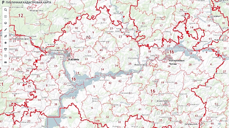
What can be learned from the Public Cadastral Map?

The public cadastral map (hereinafter referred to as the PCM) is the official electronic resource of the Federal service of state registration, cadaster and cartography, which contains information on the Unified State Register of Real Estate (hereinafter - USRR) for all real estate objects. All information of the specified resource is presented in graphical and text mode, and the PCM is maintained on the principles of relevance, openness and accessibility.
The PCM provides an opportunity to receive information about all real estate registered in the USRR online. It provides information about the location, address, area, cadastral value, ownership of the object. The PCM also provides information on the category of land to which the site belongs and on the type of permitted use of the land. In addition, at the PCM, you can see the boundaries of zones with special conditions for the use of the territory entered in the USRR.
If preparations are underway for the formation of a new real estate object (for example, the allocation of a land plot from a state or municipal fund), there will be no information about it in the PCM. In this case, only the location of the future object can be established on the electronic resource, and information will be entered as a result of registration of real estate rights and the passage of cadastral registration.
PCM information is publicly available, any interested person can get acquainted with the basic information for each property. To do this, just go to the website of Rosreestr in the section "Reference information on the real estate property online" in the tab "Public Cadastral Map". To find the property you are interested in, you must enter the cadastral number of the object in the map search window.
We draw your attention to the fact that the PCM data are for information and reference purposes only. PCM information cannot be used to perform any legally relevant actions with real estate.