The border of the republic from TASSR to the Republic of Tatarstan
The decision to create the TASSR was made at the end of January 1920. It was then that an interdepartmental commission was created to develop issues relating to the economic situation, ethnic composition of the population, the borders of the republic, as well as to prepare in general the draft decree on the formation of the Tatar Republic.
In early May 1920, work was completed on the preparation of a draft decree on the creation of the TASSR. On May 4, 1920, by a resolution of the Central Committee of the RCP and the Council of People's Commissars of the RSFSR, a government commission was created to prepare the development of the question of the borders of the Tatar Republic.
On May 27, 1920, by order of the All-Russian Central Election Committee and the Council of People's Commissars, the Tatar Autonomous Soviet Socialist Republic was formed. Its territory consisted of counties and volosts of five provinces (Kazan, Ufa, Samara, Vyatka and Simbirsk) with the majority of the Tatar population.
The government commission created by the decision of the Politburo of the Central Committee of May 4, 1920, when determining the boundaries of the TASSR, proceeded from taking into account primarily the national composition of the population and its will.
On August 12, 1920, the first meeting of the administrative commission on the detailed establishment of the borders of the TASSR was held. As a result of lengthy and painstaking work to coordinate and resolve disputes by the beginning of June 1921, the administrative commission had compiled a description of the border and territory of the TASSR.
In subsequent years, the borders and territory of the TASSR underwent significant changes. The national-territorial principle in determining the boundaries of autonomous entities, which was carried out at the beginning of the civil war, was now implemented with some changes. If before the main attention was paid to highlighting the territories most densely populated by one or another nationality, then in the future great importance is attached to the economic integrity of the autonomous republics and regions. The so-called “rounding”, i.e. territories, although less densely populated by the indigenous population, join the former national core, but on the other hand they compose an economic whole with this core.
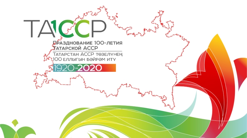
On August 30, 1990, the Supreme Council of the Republic adopted a declaration on state sovereignty of Tatarstan, approved by referendum in March 1992. Since April 1992, the official name of the republic is the Republic of Tatarstan. The capital is the city of Kazan.
Currently, the republic has 43 municipal districts and 2 urban districts (Kazan and Naberezhnye Chelny). The districts consist of cities of regional significance, urban-type settlements and rural settlements with territories subordinate to them, which constitute the primary level in the system of the administrative-territorial structure of the republic. Cities of republican significance may be territorially subdivided into districts in the city.
The total area of the republic is 6783.7 thousand hectares. The maximum length of the territory is 290 km from north to south and 460 km from west to east. Tatarstan has no borders with foreign states.
The republic borders on 8 constituent entities of the Russian Federation, in the west - with the Chuvash Republic, in the north-west - with the Republic of Mari-El, in the north - with the Kirov region, in the north-east - with the Udmurt Republic, in the east - with the Republic of Bashkortostan, in in the southeast - with the Orenburg region, in the south - with the Samara and Ulyanovsk regions.
Today, the borders of the constituent entities of the Russian Federation need to be adjusted. There are discrepancies between the borders of different entities: somewhere, the boundaries overlap, which leads to double counting of lands, somewhere there are large gaps between the borders, which leads to underestimation of lands, there are also registry errors in setting boundaries.
Since the second half of 2019, work is underway in the Republic of Tatarstan to clarify the border. State Budgetary Institution “Spatial Data Fund of the Republic of Tatarstan” is preparing a draft border based on archival materials, taking into account the interests of the population of the republic. The border project of the Republic of Tatarstan is 75% ready and is being coordinated with neighboring entities. After coordination, the border is approved by the Government of Tatarstan and put on cadastral registration.