Tatarstan and Ulyanovsk came to a common decision on the controversial section of the border
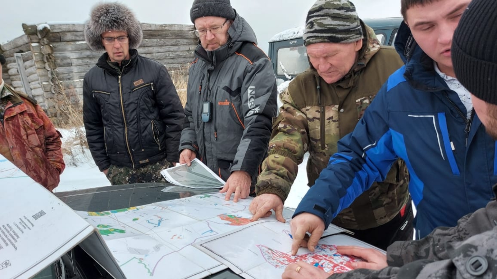
The head of the department of geodesy and cartography of the State Budgetary Institution Spatial Data Fund of the Republic of Tatarstan Andrey Logashin, together with representatives of the Ministry of Forestry of the Republic and the Ulyanovsk Region, went to the place of passing the adjacent border.
Participants surveyed 7 km along the border of the Spassky District of the Republic of Tatarstan and the Staromainsky District of the Ulyanovsk Region. Long-term landmarks were found in some areas. For the rest of the plots, forest plans of two subjects were compared. According to Andrey Logashin, this expedition has confirmed the reliability of the initial data available in the Republic of Tatarstan on the border.
Initially, in this section of the border, the discrepancy reached 150 m. Following the meeting, it was possible to come to a common decision.
The event was attended by representatives of the State Budgetary Institution Spatial Data Fund of the Republic of Tatarstan, the Ministry of Forestry of the Republic of Tatarstan, the Ministry of Nature and Cyclical Economy of the Ulyanovsk Region and land surveyors of the Ulyanovsk Region.