The state of the development of urban planning documents can now be monitored online

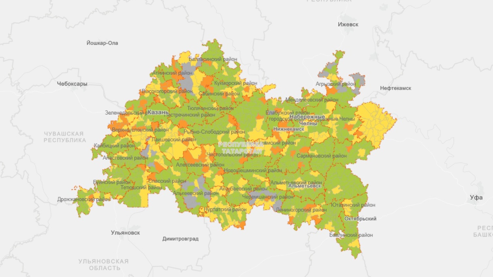
The Spatial Data Fund of the Republic of Tatarstan presents a new map, which reflects the state of development of master plans and rules of land use and development of settlements of the republic.
The Spatial Data Fund of the Republic of Tatarstan weekly conducts an inventory of urban planning documents of the Republic of Tatarstan, namely: the state of master plans, approval of and rules of land use and development and setting the boundaries of settlements on the record in the Unified State Register of Real Estate. To be able to visually assess the volume of work and their state, the data was uploaded to the map, which can be viewed at the following link: https://arcg.is/1OLa5G0
Such a map allows stakeholders to assess the urban development situation both in the district as a whole and for each rural settlement separately.