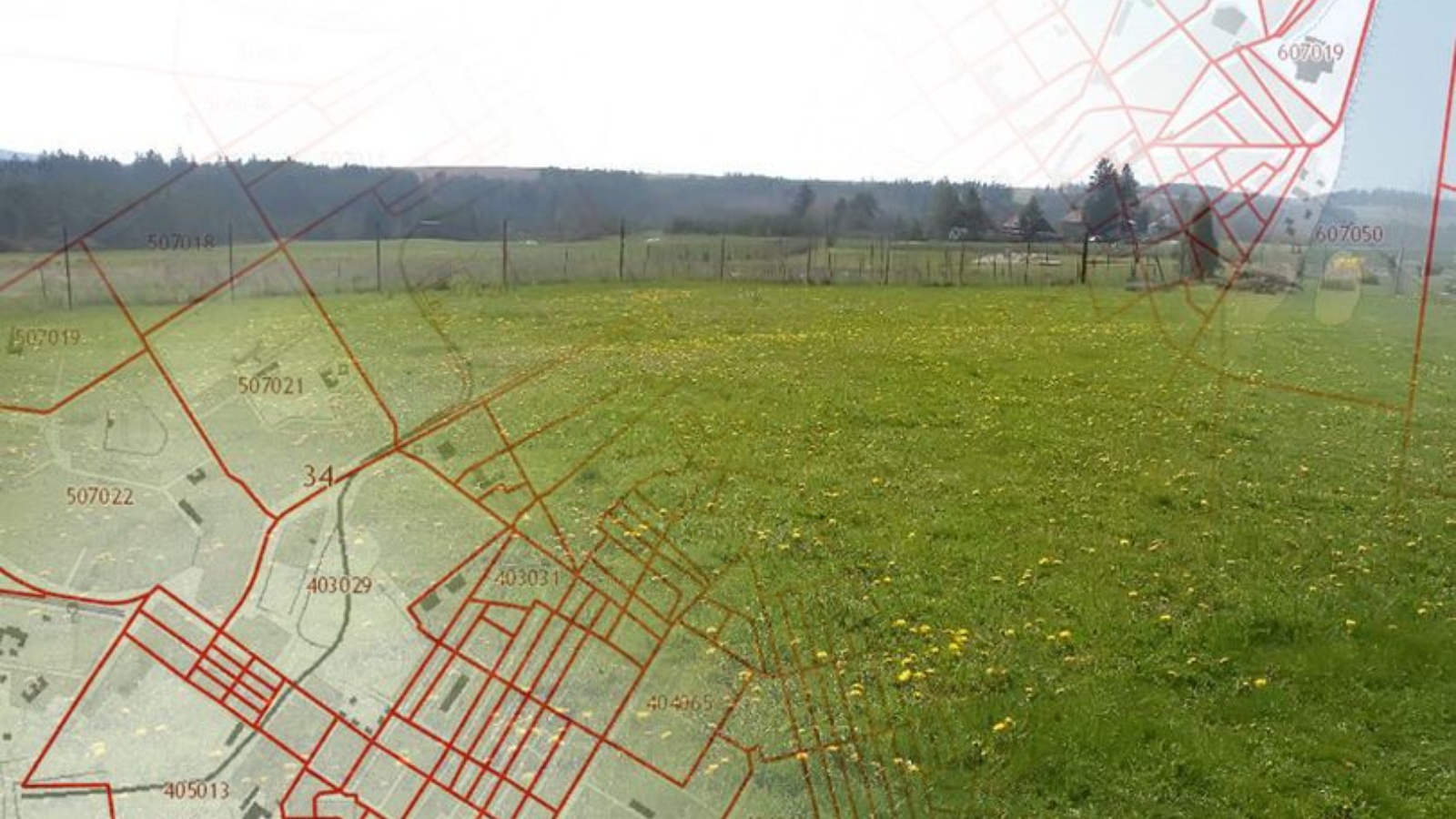
A joint group to establish the boundaries of settlements through the Territorial planning system has been formed
27 April 2022, Wednesday

The meeting to establish the boundaries of settlements by amending the territorial planning scheme was held today. At the meeting, a joint group was formed with the participation of specialists from the Spatial Data Fund of the Republic of Tatarstan and the Ministry of Construction to establish the boundaries of the settlements of the republic through the Territorial planning system. As soon as possible, this group should develop an agreed draft and format of documents for further work.
Share:
LATEST NEWS
29
April 2023
Today, the staff of the Ministry of Land Property of the Republic of Tatarstan and subordinate institutions supported the international action "Garden of Memory". The event is dedicated to the 78th anniversary of the Victory in the Great Patriotic War and the Year of National Cultures and Traditions in Tatarstan. Employees went to the Laishevsky district, where they planted coniferous trees near the village of Tarlashi.
On a land leased from the state, you can first build a house, and then buy the land. How to properly lease land, where to start the procedure for acquiring and registering a land plot that is in state or municipal ownership, as well as what are the nuances of drawing up an agreement - Artur Galiev, First Deputy Minister of Land and Property of the Republic, spoke about this.
On April 27-28 in the IT park named after Bashir Rameev, experts of Public legal Company Roscadastre held a training seminar on working with the services of the federal state information system "Unified Digital Platform "National System of Spatial Data" for the relevant ministries and departments of the Republic of Tatarstan, the press service of the branch of the Public legal company "Roskadstr" reports in the Republic of Tatarstan.
28
April 2023
Deputy Minister Edik Diyarov delivered a welcoming speech at the Kazan Polytechnic College to the participants of the All-Russian campaign "Victory Dictation".
SUBSCRIBE FOR NEWS
All content on this site is licensed under
Creative Commons Attribution 4.0 International
If you see a mistake,
please select the word or sentence and press CTRL+ENTER