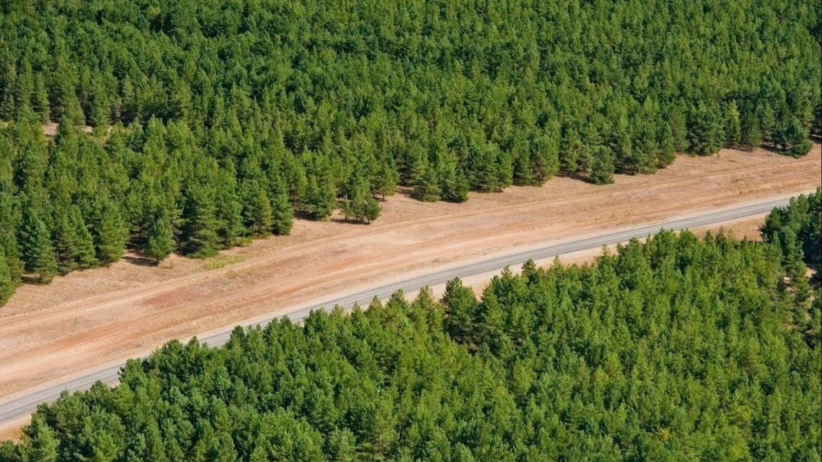
Digitization of forest plantations in the Nizhnekamsky municipal district of the Republic of Tatarstan has been completed
1 July 2022, Friday

Specialists of the Spatial Data Fund of the Republic of Tatarstan completed a pilot work on digitizing the areas of forest plantations in the Nizhnekamsky municipal district of the Republic of Tatarstan based on orthophotomaps obtained from the Federal Spatial Data Fund and space imagery data.
Recall that this work was carried out in order to identify ownerless forests and abandoned agricultural (arable) land. The digitized data is necessary for the work of the Ministry of Land and Property and the Ministry of Forestry of Tatarstan.
Share:
LATEST NEWS
29
April 2023
Today, the staff of the Ministry of Land Property of the Republic of Tatarstan and subordinate institutions supported the international action "Garden of Memory". The event is dedicated to the 78th anniversary of the Victory in the Great Patriotic War and the Year of National Cultures and Traditions in Tatarstan. Employees went to the Laishevsky district, where they planted coniferous trees near the village of Tarlashi.
On a land leased from the state, you can first build a house, and then buy the land. How to properly lease land, where to start the procedure for acquiring and registering a land plot that is in state or municipal ownership, as well as what are the nuances of drawing up an agreement - Artur Galiev, First Deputy Minister of Land and Property of the Republic, spoke about this.
On April 27-28 in the IT park named after Bashir Rameev, experts of Public legal Company Roscadastre held a training seminar on working with the services of the federal state information system "Unified Digital Platform "National System of Spatial Data" for the relevant ministries and departments of the Republic of Tatarstan, the press service of the branch of the Public legal company "Roskadstr" reports in the Republic of Tatarstan.
28
April 2023
Deputy Minister Edik Diyarov delivered a welcoming speech at the Kazan Polytechnic College to the participants of the All-Russian campaign "Victory Dictation".
SUBSCRIBE FOR NEWS
All content on this site is licensed under
Creative Commons Attribution 4.0 International
If you see a mistake,
please select the word or sentence and press CTRL+ENTER