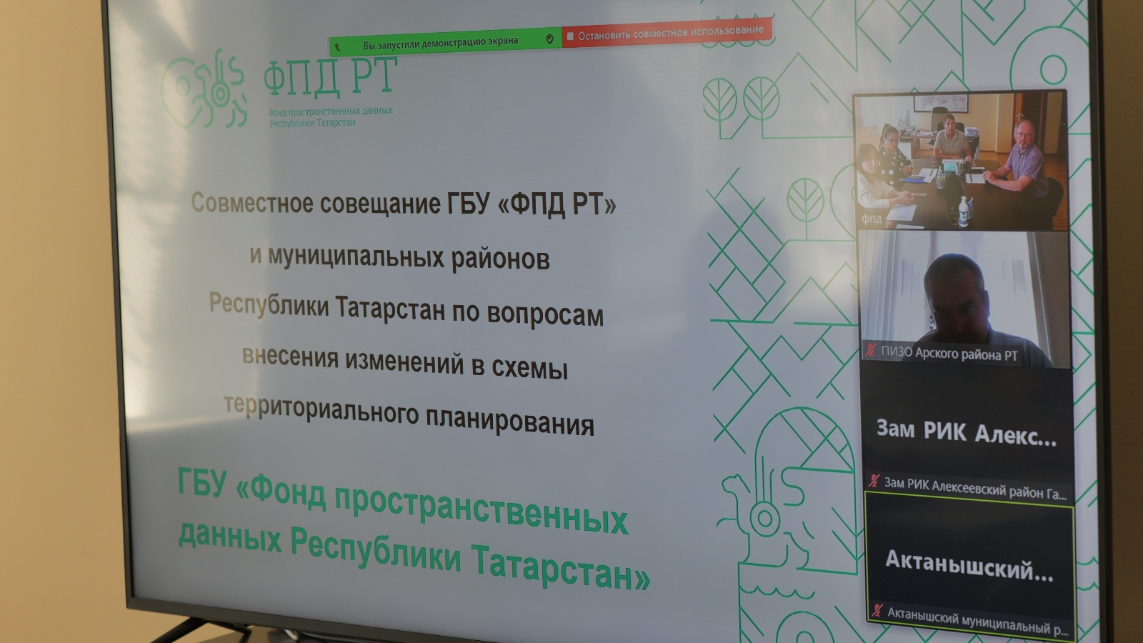
About the progress of work on introducing changes to the spatial planning schemes of the districts

In the Republic of Tatarstan, work to establish the boundaries of settlements by amending the territorial planning schemes continues.
Today, a regular meeting was held with municipal districts, the work on making changes to the spatial planning schemes of which is carried out by the Spatial Data Fund of the Republic of Tatarstan - these are Agryzsky, Novosheshminsky, Arsky, Alekseevsky, Aznakaevsky, Aktanyshsky, Elabuzhsky, Buinsky, Mendeleevsky, Sarmanovsky, Muslyumovsky, Yutazinsky, Laishevsky, Mamadyshsky and Tukaevsky districts. In total, according to this list, there are 136 rural settlements, including 467 settlements. Of these, 182 n.p. are located on the Federal State Information System of Territorial Planning.
The main problems hindering the submission of projects to the Federal State Information System of Territorial Planning are related to the irrelevance of the keys for accessing the site and the lengthy coordination of the boundaries by the district.