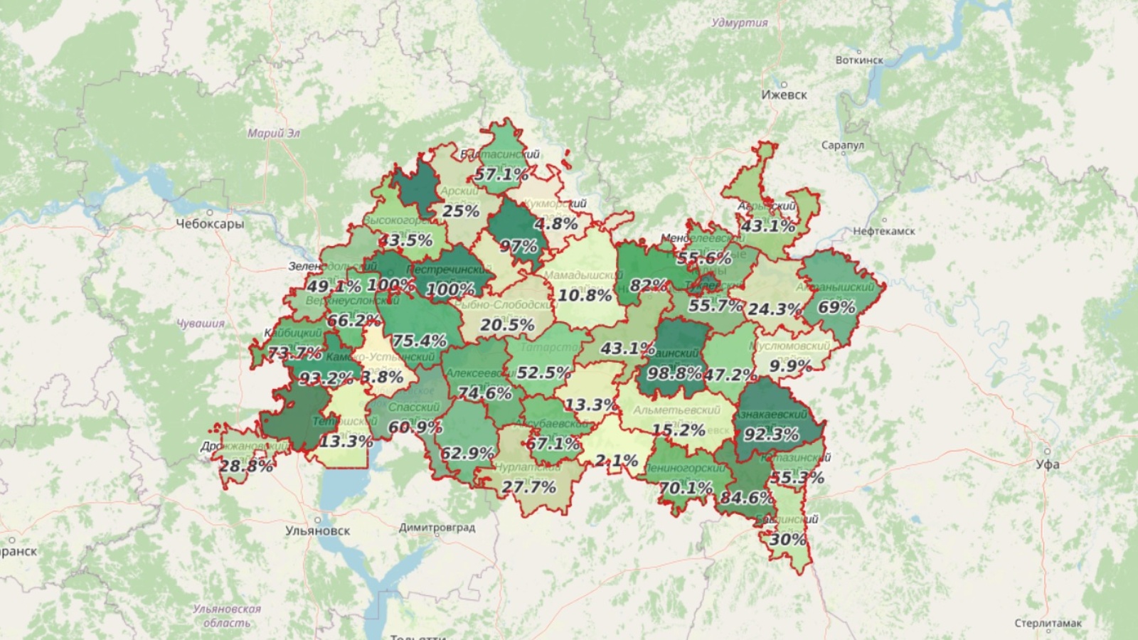
An interactive map, reflecting the state of development of master plans and land use and building regulations of settlements of the republic has been updated

The State Budgetary Institution “Spatial Data Fund of the Republic of Tatarstan” weekly conducts an inventory of urban planning documents of the Republic of Tatarstan, namely: the state of master plans, approval of the land use and development rules and registration of the boundaries of settlements in the Unified State Register of Real Estate. To be able to visually assess the scope of work and their status, the data is loaded onto a map, which can be viewed here:
https://fpd-tatar.nextgis.com/resource/227/display?panel=layers
Such a map allows interested persons to assess the urban development situation both in the whole district and in each rural settlement separately. For example, now there are 911 rural and urban settlements in Tatarstan. 679 master plans approved, 133 more in progress. The leaders in terms of percentage indicators of approved master plans, as shown on the map, are: Kazan, Pestrechinsky and Atninsky districts - 100%; Zainsky district - 95.7%; Sabinsky district - 95%. Outsiders - Cheremshansky district - 0%; Tetyushsky district - 4.8%; Kamsko-Ustyinsky and Kukmorsky districts - 10%; Muslyumovsky district - 10.5%.
With regards to the rules of land use and development, 735 land use and development rules have now been approved, and 127 more have been taken into work.