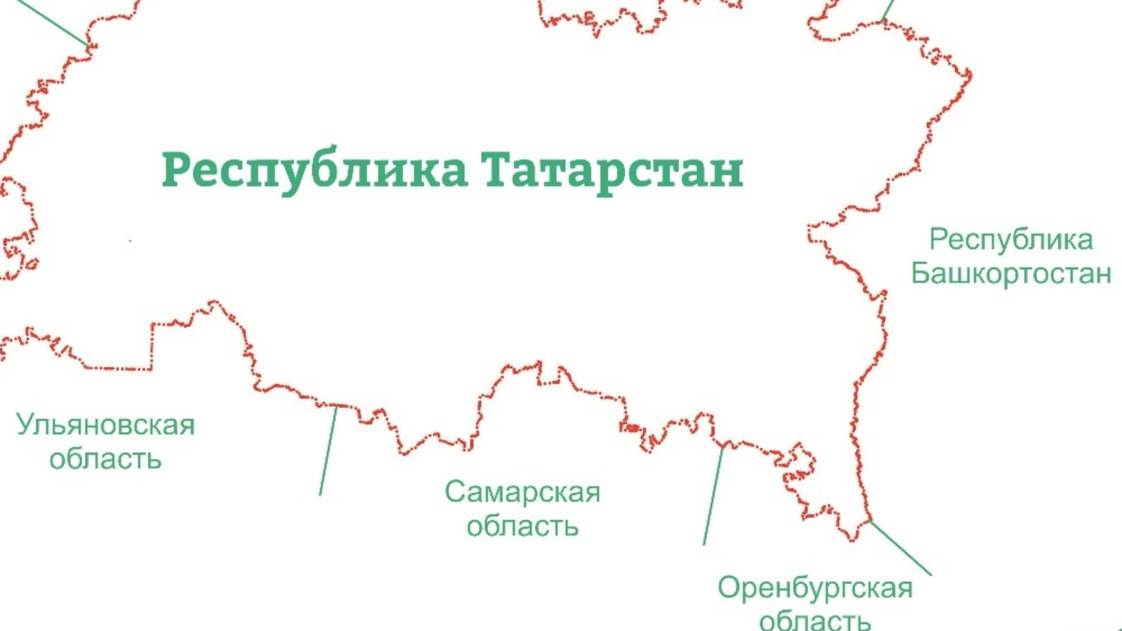
The border between Tatarstan and the Samara region is included in the Unified State Register of Real Estate

The Unified State Register of Real Estate contains information about the border between Tatarstan and the Samara Region. Basically, the border passes through the territory of forests and farmland. The total length of the border between the Republic of Tatarstan and the Samara region is 392.5 kilometers.
According to the branch of the Roscadastr public company for the Republic of Tatarstan, Tatarstan borders on the Samara region in the southern part of the territory. Bugulminsky, Leninogorsky, Cheremshansky, Nurlatsky municipal districts of the Republic of Tatarstan are located on the border.
Work to determine the borders with the Samara region has been carried out since 2019. Based on the results of the collection and analysis of the original cartographic and cadastral materials, 87 problematic sections of the border were initially identified. To successfully resolve all issues, it took about two dozen meetings of the parties in the videoconferencing mode, three times face-to-face negotiations were held in Samara.
As a result, the border between the Republic of Tatarstan and the Samara region has not changed its real historical configuration. As a result of the coordination, all issues of differences in the cartographic display of borders that existed in various documents were resolved. Parts of settlements and industrial facilities of the Republic of Tatarstan have not been transferred to another subject.
Thus, according to the Federal service of state registration, cadastre and cartography of Tatarstan, at present, out of eight adjacent borders of Tatarstan, four are included in the Unified state register of real estate: with the Orenburg and Samara regions, the Republics of Bashkortostan and Mari El. Work on establishing borders with other regions - the Republics of Chuvashia and Udmurtia, Ulyanovsk and Kirov regions - continues.