The Spatial Data Fund of the Republic of Tatarstan establishes the boundaries between the Republic of Tatarstan and neighboring entities
Work on the establishment of borders between the constituent entities of the Russian Federation is being carried out within the framework of the implementation of the target model “Registration for cadastral registration of land plots and real estate objects”. The implementation of this indicator directly affects the improvement of the state cadastral registration of real estate, which in turn is one of the criteria for improving the investment climate in the regions.
State budgetary institution “Spatial Data Fund of the Republic of Tatarstan” organizes work on the establishment and coordination of the borders of the Republic of Tatarstan with related subjects of the Russian Federation. At present, preliminary data on the borders of the Republic with all related subjects of the Russian Federation have been collected. Work has begun on resolving disagreements and preparing materials for coordinating borders with the Samara Region and the Chuvash Republic.
A workshop was held in Kazan on the establishment of the border between the Republic of Tatarstan and the Samara Region, in which representatives of Samara Center for Geodesy and Land Management LLC and State Budget Fund “Spatial Data Fund of the Republic of Tatarstan” took part.
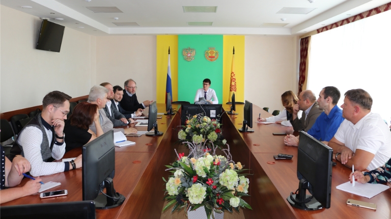
Also, a working meeting on the establishment of the border between the Republic of Tatarstan and the Chuvash Republic was held in the city of Cheboksary. On the part of the Chuvash Republic, representatives of the Ministry of Construction, Architecture and Housing and Communal Services, the Office of Federal Service for State Registration, Cadastre and Cartography and ZEMLYA LLC took part in the meeting, and on the part of the Republic of Tatarstan: representatives of the Ministry of Land and Property of the Republic of Tatarstan and the State Budgetary Institution “Spatial Data Fund of the Republic of Tatarstan”.
During the meetings, general approaches to resolving disagreements in establishing borders between entities were considered, data were exchanged on the working draft of establishing the border and identified disagreements, an agreement was reached on the exchange of archival cartographic and other materials at the disposal of the parties on crossing the border, plans and procedures for further interactions.