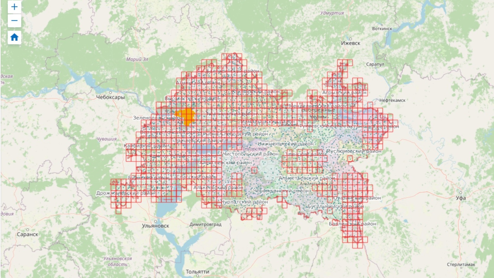
An interactive map of materials from the Spatial Data Found of the Republic of Tatarstan has been published

Specialists of the department for maintaining the spatial data fund of the Republic of Tatarstan have developed an interactive map of materials Spatial Data Found of the Republic of Tatarstan. Note that the card is on a temporary service, until the development of the main portal of the fund.
Already on it, you can view all the available materials of the Spatial Data Foundation, which are also available for ordering to individuals and legal entities, state authorities and local governments. The fund is based on digital orthophotomaps and digital topographic maps of the region, made over the past 10 years. After updating the cartographic materials by the employees of the Spatial Data Found of the Republic of Tatarstan, it will be possible to order the most relevant digital maps for the entire territory of the Republic of Tatarstan.
If you need to obtain a certain material, please select the appropriate files on the map and indicate specific names when filling out the application.
The map is available at the link: https://goo.su/uWm