The boundaries of land plots have been brought into line with the draft border between Tatarstan and Chuvashia

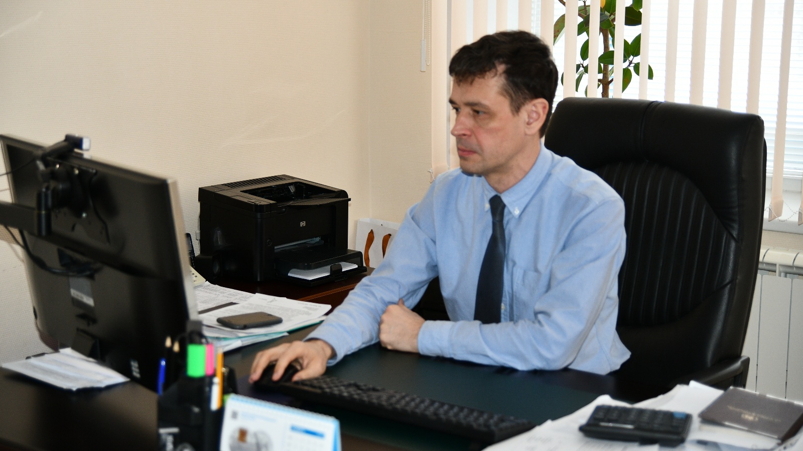
Deputy Minister Maxim Rogozhkin held a regular weekly meeting of the working group on establishing the border of the Republic of Tatarstan via videoconferencing. The meeting was attended by the director of the State Budgetary Institution "Spatial Data Fund of the Republic of Tatarstan" Airat Usmanov and the head of the Department of Geodesy and Cartography of the Fund Andrey Logashin, as well as representatives of the Ministry of Forestry of the Republic of Tatarstan, the Cadastral Chamber and the Department of Federal service of state registration, cadaster and cartography in the Republic.
The participants reported on the completion of work to bring the boundaries of land plots in line with the draft border between the Republic of Tatarstan and the Chuvash Republic. As for other subjects, according to the results of the inspection of the approved projects of the borders of Tatarstan with the Samara region and the Republic of Mari El, conducted by the Office of the Federal service of state registration, cadaster and cartography in the Republic of Tatarstan, intersections with the sites of the Nurlat and Zelenodolsk forestries that are on the cadastral register were identified. To carry out further activities, the Ministry of Forestry of the Republic of Tajikistan needs to bring the boundaries of the forest fund plots in line with the approved draft boundaries.
Upon completion of these works, Agreements will be concluded with the Chuvash Republic, the Samara Region and the Republic of Mari El on establishing the location of the border between the constituent entities of the Russian Federation.