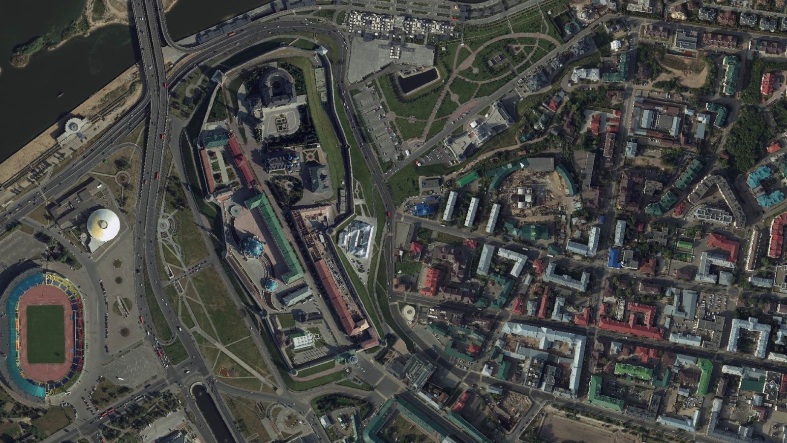
Kazan plans to create a high-precision orthophotomap of the city

During the business Monday of the Kazan City Hall, Dmitry Kremlev, head of the Information Technologies and Communications Department of the Executive Committee, spoke about plans to create a high-precision orthophoto map of the city this year.
Based on it, a digital terrain model will be built and digitization of green areas will be carried out. Also in the nearest plans is an inventory of engineering infrastructure, the formation of digital twins of roads, the introduction of bim models into regular processes, and the creation of a virtual 3D model of the city.
Digital twins involve the integration of all spatial data, as closely as possible coordinated with each other, into a single model in a single coordinate system. At the same time, an important stage is the high-quality coordinate referencing of orthophotomaps, which is carried out from networks of base stations that provide a high-precision coordinate-time field on the territory of the republic to determine the coordinates of objects on the ground in real time.
Now six networks of differential geodetic stations are deployed in Tatarstan, one of which is the network of high-precision positioning of the Republic of Tatarstan. This network requires modernization with subsequent inclusion in the federal network of geodetic stations of Federal service of state registration, cadastre and cartography, after which it can be used as a reference network both for linking commercial networks and for user work.
The implementation of the project to recreate the network of high-precision positioning of the Republic of Tatarstan will reduce the costs of performing geodetic and cartographic work, increase the productivity of engineering surveys in the development of design documentation for the construction and reconstruction of roads, social facilities, gas supply and other works, which result in spatial data that form the basis of digital twins .
For reference: in 2021, Roskartography carried out aerial photography, during which orthophotomaps were made for the entire territory of the republic on a scale of ten thousand, and for large settlements of the Republic of Tatarstan on a scale of two thousand. This will make it possible to update cartographic materials on a larger scale and, on their basis, solve a number of problems related to territorial planning and the development of urban planning documentation in the republic.