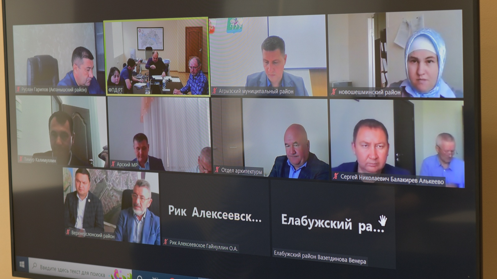
Districts were explained the procedure for uploading territorial planning schemes into the federal state information system of territorial planning

Today, in the institution of the State Budgetary Institution Spatial Data Fund of the Republic of Tatarstan subordinated to the Ministry of Land and Property of the Republic of Tatarstan, a regular meeting to clarify the status of work on establishing the boundaries of settlements by amending the territorial planning schemes was held.
The meeting was attended by heads and responsible for territorial planning of the Agryzsky, Aznakaevsky, Aksubaevsky, Aktanyshsky, Alekseevsky, Alkeevsky, Arsky, Verkhneuslonsky, Yelabuga, Novosheshminsky, Spassky municipal districts.
During the videoconferencing, the participants discussed the main issues and problems associated with the timely uploading of materials (territorial planning schemes) to the federal state information system of territorial planning and updating the keys to access the site. Also, representatives of the districts were explained the need and procedure for removing the old project from the federal state information system of territorial planning website for the possibility of subsequent updates.