On the progress of work to amend the territorial planning system of the districts

In the Republic of Tatarstan, work to establish the boundaries of settlements by amending the territorial planning schemes continues. To date, 30 municipal districts have entered into agreements with the Spatial Data Fund of the Republic of Tatarstan on cooperation in establishing the boundaries of settlements through the territorial planning system.
Now the Fund is working on projects of 138 rural settlements, including 437 settlements of Agryzsky, Aznakaevsky, Aksubaevsky, Aktanyshsky, Alekseevsky, Alkeevsky, Almetevsky, Arsky, Verkhneuslonsky, Yelabuga, Novosheshminsky and Spassky municipal districts.
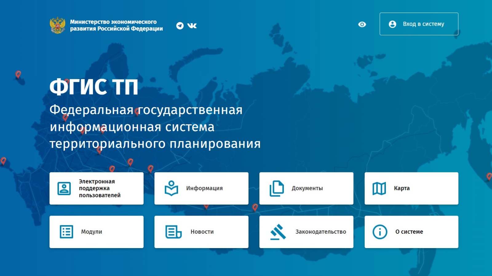
In the course of the work, many questions and problems arose related to the timely loading of materials on the Federal state system of territorial planning. Most of the districts did not have up-to-date keys for accessing the site, which made it impossible to remove the old project from the Federal state system of territorial planning site for subsequent updates.
Now 150 territorial planning materials have been placed into Federal state system of territorial planning. The work will be completed in the 4th quarter of this year.