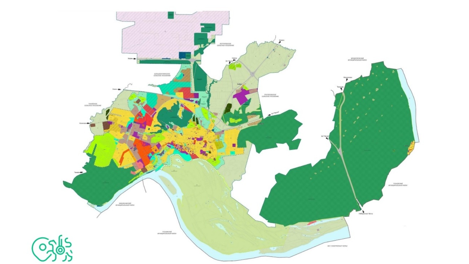
The state of affairs on the development and approval of urban planning documents was discussed in the Cabinet of Ministers

Today, the Cabinet of Ministers of the Republic of Tatarstan hosted a meeting in the format of a "round table" on topical issues of the activities of local governments chaired by the First Deputy Prime Minister of the Republic of Tatarstan Rustam Nigmatullin.
The meeting was attended by heads of executive committees of municipal districts and city districts of the republic, representatives of ministries and departments of the Republic of Tatarstan. On behalf of the Ministry of Land and Property of the Republic of Tatarstan, Deputy Minister Maxim Rogozhkin and First Deputy Director of the State Budgetary Institution Spatial Data Fund of the Republic of Tatarstan Ruslan Komarov spoke.
The participants were presented with a report on the state of affairs in the development of master plans and inclusion in the Unified State Register of Real Estate of the boundaries of settlements of municipalities of the Republic of Tatarstan.
To date, the Unified State Register of Real Estate contains information on the boundaries of 1194 out of 3119 settlements that are part of 333 municipalities.
Based on the norms of the current legislation (Article 84 of the Land Code of the Russian Federation and Article 19 of the Urban Planning Code of the Russian Federation), in order to put the boundaries of the remaining 1058 settlements on the cadastral register, it is necessary either to develop master plans for another 332 municipalities, or to establish boundaries by developing territorial planning schemes for municipal districts. Now 31 municipal districts are planning to establish the boundaries of settlements by amending the territorial planning scheme (320 rural settlements, including more than 950 settlements). The use of this mechanism for establishing boundaries will significantly speed up this process.
The State Budgetary Institution Spatial Data Fund of the Republic of Tatarstan is working on projects to amend the territorial planning schemes for 184 rural settlements. In the Federal State Information System for Territorial Planning, projects have been uploaded to amend the territorial planning schemes of Agryzsky, Aznakaevsky, Aktanyshsky, Aksubaevsky, Alekseevsky, Almetevsky, Alkeevsky, Arsky, Buinsky, Verkhneuslonsky, Yelabuga, Novosheshminsky, Mendeleevsky and Spassky municipal districts, including 308 settlements.
With regard to entering information about the boundaries of territorial zones in the Unified State Register of Real Estate, the preliminary total number of territorial zones in 913 settlements is 11,953. 280 land use and building regulations projects are under development, 565 land use and building regulations projects need to be developed.
The round table also discussed the main problematic issues related to the process of making changes to spatial planning scheme of municipal districts of the Republic of Tatarstan in terms of supplementing information on the boundaries of settlements located within the boundaries of rural settlements.
For operational work, colleagues from municipal districts were recommended:
- provide the State Budgetary Institution Spatial Data Fund of the Republic of Tatarstan with up-to-date contact details of the performers responsible for making changes to the spatial planning scheme (position, full name, current telephone number for communication, e-mail address;
- update the access keys to the personal account of the municipal district in Federal state system of territorial planning for the purpose of prompt placement of draft territorial planning documents;
- organize the activities of responsible persons for the prompt coordination of the proposed boundaries of settlements sent by the State Budgetary Institution Spatial Data Fund of the Republic of Tatarstan, for the prompt placement of spatial planning scheme projects on the Federal state system of territorial planning, making a decision on approving amendments to the spatial planning scheme of municipal districts, entering information into the Unified State Register of Real Estate on the boundaries of settlements;
- timely send information about the boundaries of settlements, territorial zones for inclusion in the Unified State Register of Real Estate, and in case of receipt of a notification about the impossibility of entering into the Unified State Register of Real Estate, in the manner of interdepartmental information interaction, immediately notify the contractor.
- send up-to-date information on the progress of the development of territorial planning and urban zoning documents, as well as statistical data on the implementation of schedules for entering information on the boundaries of settlements and territorial zones into the Unified State Register of Real Estate in the State Budgetary Institution "FPD RT" (to the email address: N.Y.Ivanova@tatar .ru).
- send to the State Budgetary Institution Spatial Data Fund of the Republic of Tatarstan drafts of territory planning before their approval to take into account information in the developed draft master plans and rules for land use and development, as well as to check the composition of the documentation for compliance with the requirements of the current legislation.
- complete the submission of 100% completed questionnaires for the collection of initial data to the State Budgetary Institution Spatial Data Fund of the Republic of Tatarstan for rural settlements, the master plans of which are under development (to the leadership of Agryzsky, Alkeevsky, Apastovsky, Bavlinsky, Bugulminsky, Verkhneuslonsky, Vysokogorsky, Drozhzhanovsky, Elabuga, Zainsky, Kamsko-Ustyinsky, Mamadyshsky, Mendeleevsky, Menzelinsky, Muslyumovsky, Tukaevsky, Tyulyachinsky municipal districts).