The Head of the Tatarstan Minister of Land and Property Relations Fanil Agliullin reports about participation of the republic in the National Spatial Data System

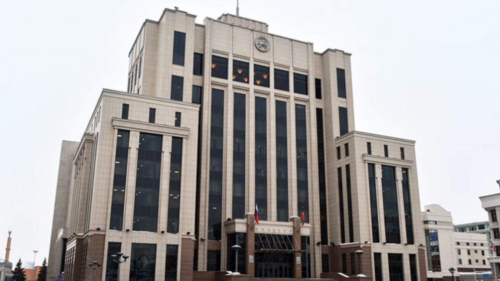
On 13 August at a meeting held by Tatarstan President Rustam Minnikhanov with participation of the Prime Minister of the republic Aleksey Pesoshin at the Government House of the republic, regional Minister of Land and Property Relations Fanil Agliullin reported about participation of the republic in state programme of the National Spatial Data System which was introduced by the Decree of the Russian Government in December 2021.
Representing strategic foundations of the system development during his visit to Tatarstan, the Head of the State Register Oleg Skufinskiy said that the key task of the system is to fill the United State Register will full and accurate information.
Agliullin also reported about work on setting down information about settlements and territorial borders into the United State Real Estate Register, having said that currently the Register contains data about borders of 1210 out of 3110 settlements which are parts of 342 municipalities.
He also informed that the total length of Tatarstan borders is about 3 500 kilometers and currently there are agreements on establishing the borders with Orenburg region, Chuvashia and Bashkortostan.
The draft document of establishing borders with Marii El, Ulyanovsk and Samara regions and Udmurtia have been approved by all parties and the corresponding agreements have been sent to be signed by above mentioned republics and regions, Agliullin said.