Work to establish the boundaries of settlements in the Republic of Tatarstan continues

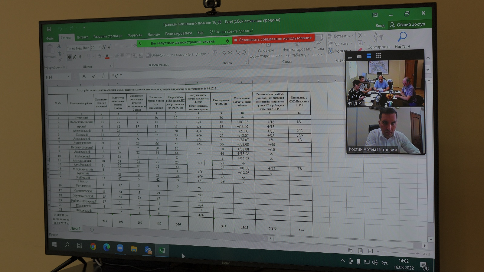
The working meeting of representatives of the State Budgetary Institution "Spatial Data Fund of the Republic of Tatarstan", departments of Federal service of state registration, cadastre and cartography and the Federal Cadastral Chamber of Federal service of state registration, cadastre and cartography in the Republic of Tatarstan was organized in the videoconferencing mode. The participants discussed the current status of work on introducing changes to the territorial planning schemes (STP) of municipal districts.
In the republic, 35 municipalities made decisions on establishing the boundaries of settlements by amending the territorial planning schemes of the districts. Currently, the Spatial Data Fund is working on projects in 21 districts, including 225 rural settlements (692 settlements). Most of the boundaries of settlements have already been sent to the area for placement on the Federal State Information System of Territorial Planning.
The portal currently contains 347 boundaries of settlements, of which 89 (Novosheshminsky, Alekseevsky, Spassky, Aznakaevsky, Aksubaevsky districts) have been sent to the Federal Cadastral Chamber for further inclusion in the Unified state register of real estate.