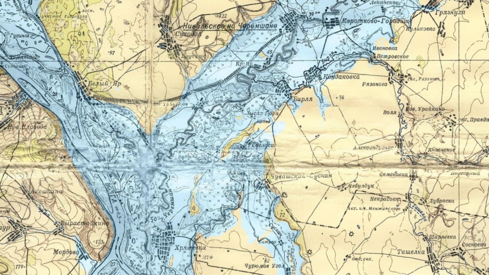
In Tatarstan, the issue of introducing the boundaries of flooding and flooding zones into the schemes of territorial planning of districts is being resolved

The State Budgetary Institution "Spatial Data Fund of the Republic of Tatarstan" organized a meeting on the issue of introducing the boundaries of flooding and flooding zones into the territorial planning schemes of the municipal districts of the republic. It was attended by representatives of the Ministry of Land and Property of the Republic of Tatarstan, the Ministry of Ecology and Natural Resources of the Republic of Tatarstan and the Ministry of Construction, Architecture and Housing and Utilities of the Republic of Tatarstan.
At present, the boundaries of flooding and flooding zones should be established in 6 districts of the Republic of Tatarstan - in Agryzsky (Agryzka river), Almetevsky (Ursalinka river), Buinsky (Karla river), Leninogorsky (Stepnoy Zai), Nizhnekamsky (Sheshma river ) and Nurlat (R. B.Cheremshan) municipal districts.
At the end of the meeting, at the suggestion of the Ministry of Ecology, it was decided to work out the option of making changes to the maps of zones with special conditions for the use of the territory and civil defense and emergency situations (civil defense and emergency situations).