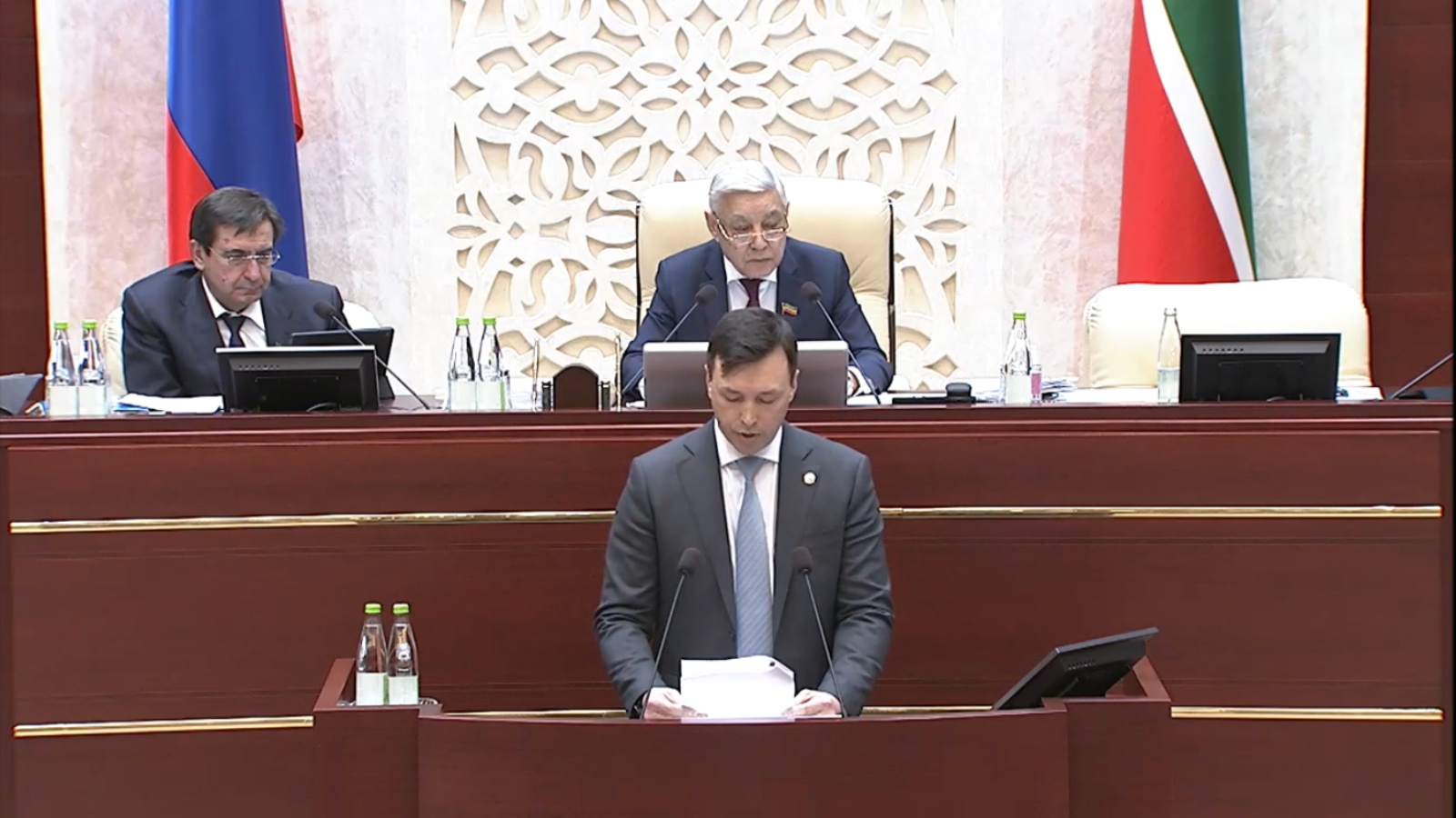
The State Council of the Republic of Tatarstan approved the Agreement on establishing the location of the border with the Udmurt Republic

The thirty-ninth meeting of the State Council of the Republic of Tatarstan took place today, where the deputies approved an agreement on establishing the location of the border between the subjects of the Russian Federation - the Republic of Tatarstan and the Udmurt Republic. The information was presented by the Minister of Land and Property of the Republic of Tatarstan Fanil Agliullin.
Earlier, the Ministry of Land and Property of the Republic of Tatarstan was entrusted with carrying out work to determine the border of the republic. The direct executor of the work, by order of the Ministry, was appointed the Spatial Data Fund of the Republic of Tatarstan.
The specified length of the border with the Udmurt Republic is 813 kilometers. Kukmorsky, Yelabuzhsky, Mendeleevsky, Agryzsky, Menzelinsky and Aktanyshsky regions of the Republic of Tatarstan are located on the border (from the side of the Udmurt Republic - Kiznersky, Grakhovsky, Alnashsky, Mozhginsky, Malopurginsky, Kiyasivsky, Sarapulsky and Karakulinsky regions).
To successfully resolve all issues, a number of working meetings were held in the mode of videoconferencing and field meetings in Izhevsk and Agryz, as well as joint visits were made to establish the nodal point of the borders of the Republic of Tatarstan, the Udmurt Republic and the Kirov region.
In general, when the border of the Republic of Tatarstan was established, parts of the settlements and industrial facilities were not transferred to another region. It is also important to note that the border between the subjects did not change its configuration, and no additional territories were included or excluded from the areas of either the Republic of Tatarstan or the Udmurt Republic.
The agreement was adopted by the deputies unanimously.