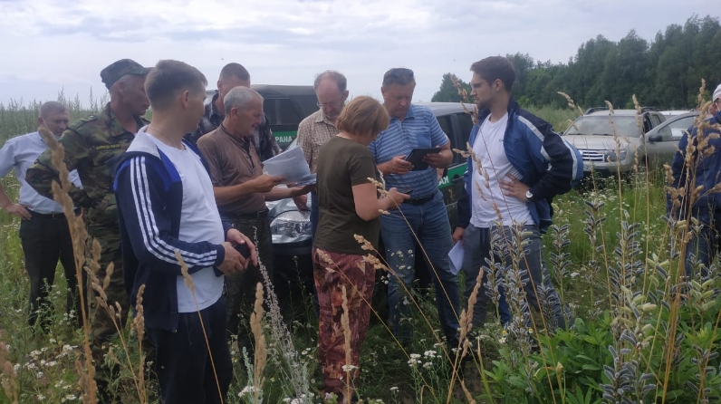
Tatarstan and Chuvashia have defined the border of forestries

Representatives of the State Budgetary Institution "Spatial Data Fund of the Republic of Tatarstan", the Kaibitskoye forestry of Tatarstan, the Mariinsko-Posadskoye forestry of the Chuvash Republic, the Ministry of Construction of Chuvashia, the branch of the federal state budgetary institution Federal cadastral chamber in the Chuvash Republic, the Department of the federal service of state registration, cadaster and cartography in the Chuvash Republic met to determine the areas of responsibility of the forestries of the two neighboring republics. The specialists checked the cartographic materials, checked the presence of identification marks on the border.
The presence of a large number of discrepancies within the boundaries of forest zones, put on the cadastral register of the Federal State Budgetary Institution "Roslesinforg", is one of the most problematic issues when working to establish the border of the Republic of Tatarstan. The main types of border discrepancies are the overlap of the boundaries of forestry areas of neighboring subjects on each other, which leads to double counting of forest lands, large gaps between the boundaries of forestries, leading to underestimation of forest lands covered with forest, and register errors in establishing the boundaries of individual isolated forest areas, expressed in the displacement of the coordinates of the sites.