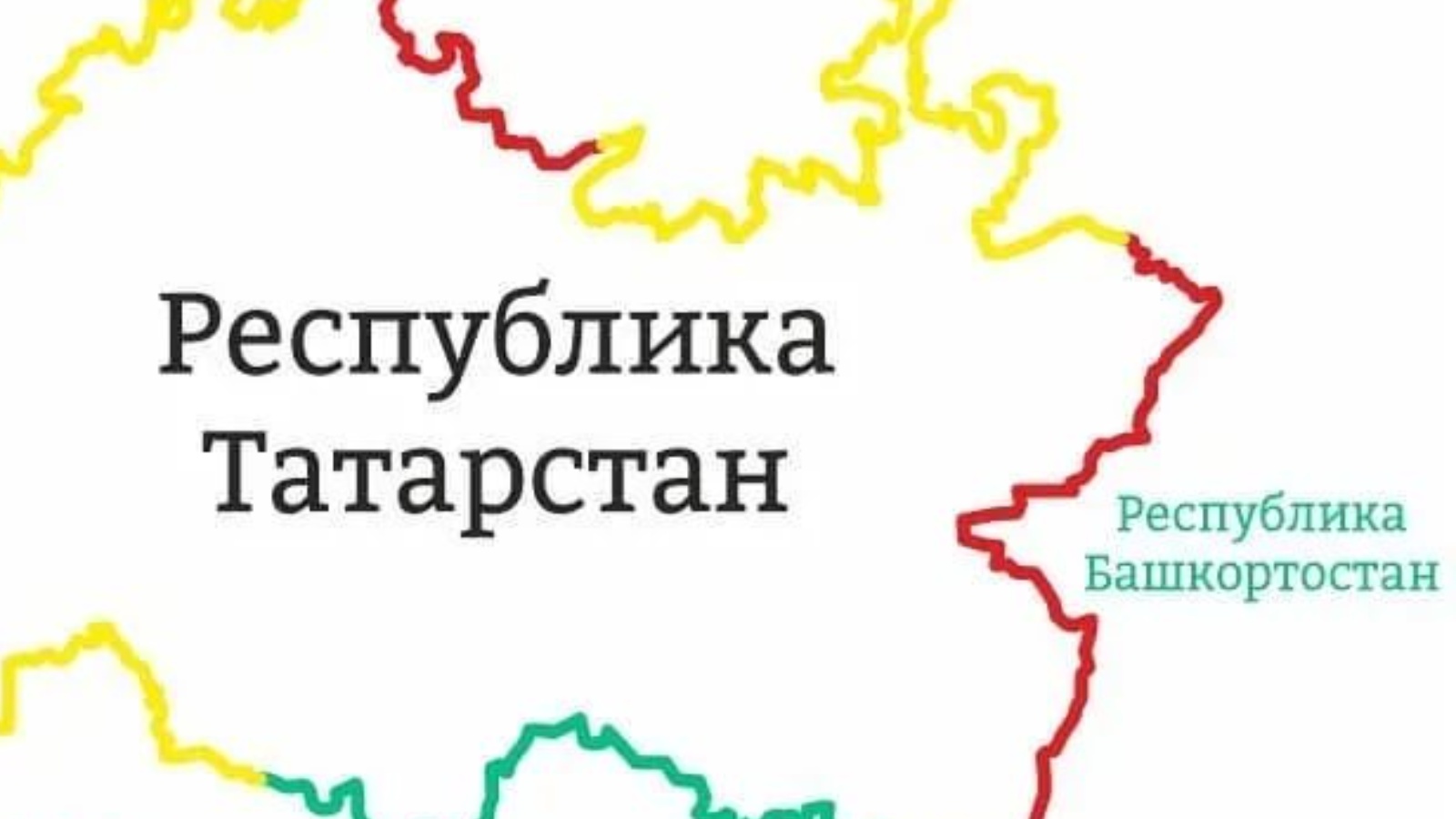
Additional baseline data are required for three sections of the Tatarstan-Bashkortostan border
Head of the Department of Geodesy and Cartography of the State Budgetary Institution Spatial Data Fund of the Republic of Tatarstan Andrei Logashin on a working trip visited the Office of Federal service of state registration, cadastre and cartography in the Republic of Bashkortostan. The first face-to-face meeting with representatives of the Republic of Bashkortostan on the issue of establishing the adjacent border between Tatarstan and Bashkortostan took place here.
The participants examined in detail all the controversial issues. Initially, 66 areas with border discrepancies were identified. 60 of them were resolved following the results of joint meetings of the working subgroups, 3 more issues were resolved following the results of the face-to-face meeting. For the rest, it is necessary to collect additional source materials.
The discussion was also attended by representatives of the Office of Federal service of state registration, cadastre and cartography in the Republic of Bashkortostan, the Ministry of Land and Property of the Republic of Bashkortostan, the Cadastral Chamber for the Republic of Bashkortostan, and the Road Administration of the Republic of Bashkortostan.