The head of the Ministry of Land Property of the Republic of Tatarstan reported on the progress of work on entering information on the boundaries of settlements into the United Register of Real Estate

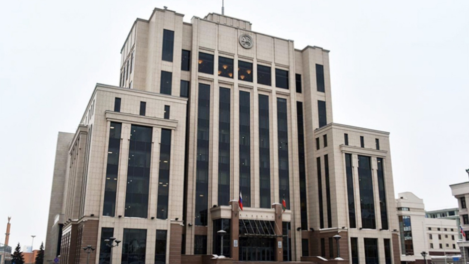
The Minister of Land and Property of the Republic of Tatarstan Fanil Agliullin reported on the progress of work on entering information on the boundaries of settlements into the Unified State Register of Real Estate today at a meeting in the Government House of the Republic of Tatarstan.
President of Tatarstan Rustam Minnikhanov held a videoconference meeting with all municipal districts. The Prime Minister of the Republic of Tatarstan Alexey Pesoshin took part in the work.
To date, the United Register of Real Estate contains information about the borders of 1030 out of 3119 (33%) settlements. The borders of all settlements, which are part of 282 out of 913 municipalities, have been cadastralized. Various performers are working on master plans for 306 settlements, the implementation of which will ensure the cadastral registration of the boundaries of over a thousand (1051) settlements. Thus, it is necessary to develop master plans for about 325 municipalities and, accordingly, put more than one thousand (1038) settlements on the cadastral register.
As Fanil Agliullin noted, since 2018, the general plans of settlements (253 general plans) have established the boundaries of 857 settlements, however, 771 settlements have been cadastralized.
The minister recalled that the completion of work on the approval of documents for territorial planning and urban planning zoning is the entry of information on the boundaries of settlements and territorial zones in the United Register of Real Estate.
In the period from 2018 to the present day, 102 land use and development rules settlements have been approved. However, only 10 territorial zones were registered in the cadastral register.
The head of the Ministry of Land Property of the Republic of Tatarstan emphasized that, based on the results of the consideration of draft master plans received by the Ministry for approval in 2021, there is a tendency for an increase in errors made by developers. The most common errors are the inconsistency of the boundaries of cemeteries with the actual boundaries, the inconsistency of the area of settlements in the materials of master plans with the information on the boundaries of settlements, crossing the boundaries of settlements with lands of the forest fund, as well as the dissection of land plots and capital construction objects by the boundaries of settlements.
The Minister added that in order to stabilize this situation, the Ministry, with the participation of representatives of the Office of the President of the Republic of Tatarstan, the Ministry of Construction of the Republic, the Association "Council of Municipal Formations" and the Spatial Data Fund of the Republic of Tatarstan, organized meetings of working groups with heads of executive committees of municipal formations and designers to discuss the development of urban planning documentation ...